
The rural boundary, explained
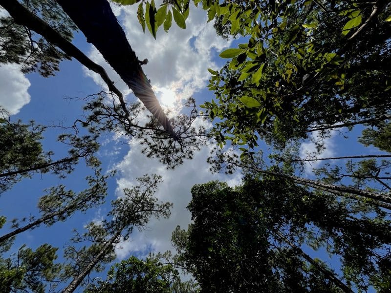
Living in east Seminole County, the rural boundary is a common topic of conversation, especially in recent years as pressure has built to develop the forests, grasslands and prairies east of Oviedo and Winter Springs.
Several OCN readers have asked us to explain Seminole County’s rural boundary. Here’s a rundown of life before the boundary existed, how it was created and what is currently happening with the area.
Editor’s note: This article was updated in February 2026
What is the rural boundary?
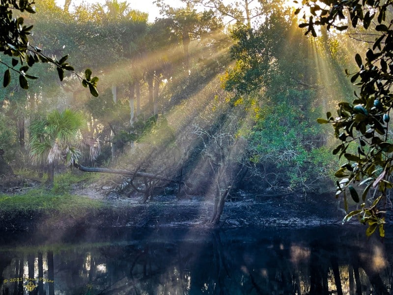
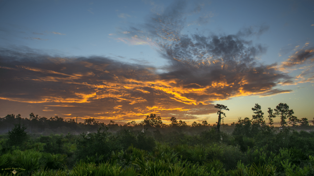
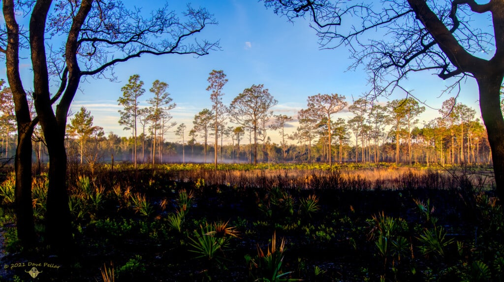
The rural boundary separates the urbanized area of Seminole County from the East Rural Area, which encompasses 74,668 acres on the east side of the county.
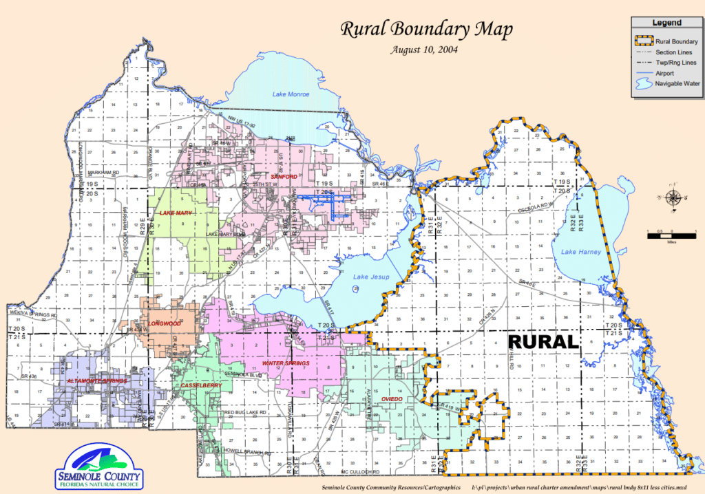
What’s in the ERA?
The population within the ERA as of 2020 was an estimated 11,742. Much of the property lots are large and agricultural in nature but there are many smaller residential lots and commercial properties that were approved before the 1991 designation of the ERA.
Limited utility service is provided from the county within the ERA. Other services such as fire and police protection are provided by the county but the fire stations there have to use water tanks or ponds because there isn’t municipal water service.
“The county does not expand (urban) services into rural areas,” Rebecca Hammock, Seminole County Development Services director said.
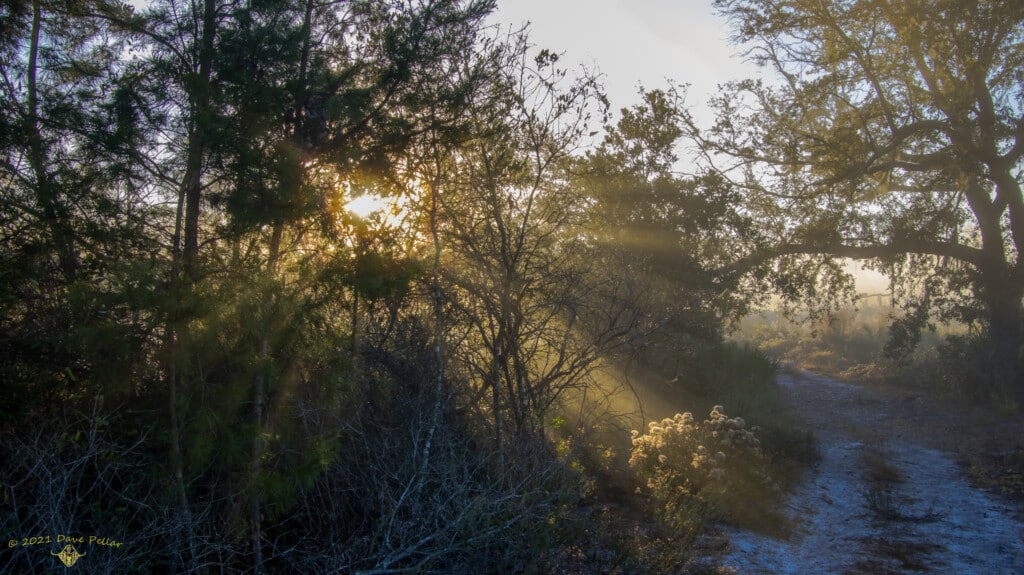
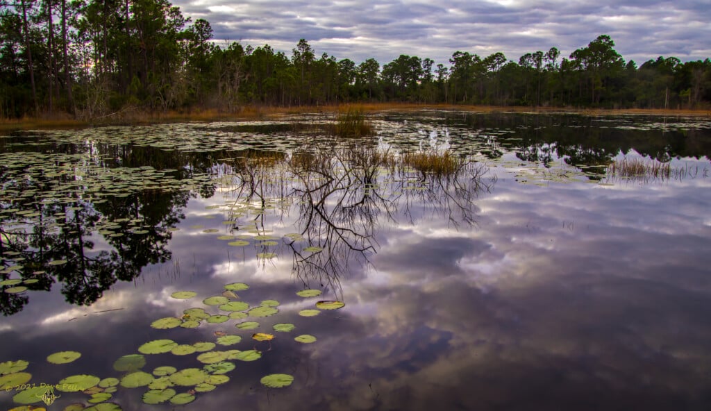
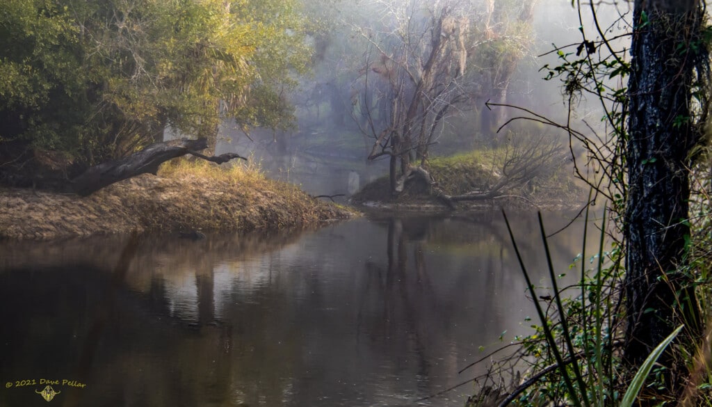
Other than that limited development, the ERA is mostly natural areas, which includes:
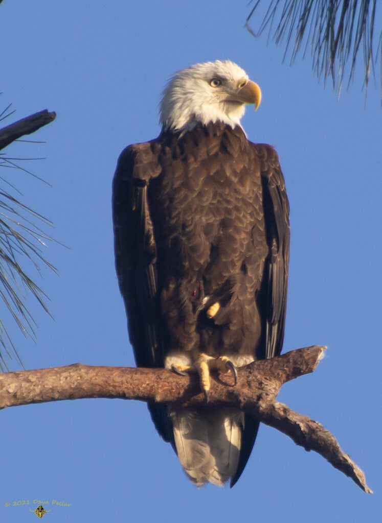
- The Little Big Econ State Forest, a 10,336-acre forest established in 1994 that’s named after the Little Econlockhatchee River and the larger Econlockhatchee River, which join near the forest
- The Black Hammock Wilderness Area, a 700-acre area that “helps protect important recharge areas for the Geneva Freshwater Lens,” which is the local aquifer, according to the Seminole County Natural Lands Program
- The Geneva Wilderness Area, a 180-acre site that includes the Ed Yarborough Nature Center, which hosts public educational programs
- The Lake Proctor Wilderness Area, a 475-acre property with six miles of hiking trail
- Mullet Lake Park, a 55-acre park
- Lake Jesup Wilderness Area, a 490-acre site on the north shore of Lake Jesup
- Lake Harney Wilderness Area, a 363-acre property located on the St. Johns
River and the northwest shore of Lake Harney.
How was the East Rural Area created and why?
1977
The Seminole County comprehensive plan, which is a document that guides the way a municipality develops, was adopted. It designated the area that now makes up the ERA as rural, and encouraged one dwelling unit per five acres but allowed one dwelling unit per acre. It encouraged development that did not require county utility services.
1987
A comprehensive plan update was adopted, which designated today’s ERA as rural and suburban estates, which requires a minimum of one acre per dwelling unit.
1991
An update to the county’s comprehensive plan included the designation of the ERA. The two primary reasons for this were concerns of potential impacts from the urbanization of nearby Oviedo and Winter Springs and curbing urban sprawl. Land use designations within the ERA include Rural 3, which allows one dwelling unit per three acres; Rural 5, which allows one dwelling unit per five acres, and Rural 10, which allows one dwelling unit on 10 acres.
1992
The Commission adopted the Econlockhatchee River Protection Overlay Standards Classification, which prohibits development activity within 550 feet of the Big Econlockhatchee River and the Little Econlockhatchee River channels. Half of the Overlay is within the ERA and it encompasses almost all of the ERA.
That same year, the county adopted the East Seminole County Scenic Corridor Overlay District, which protects the rural character of its roadways and prevents structures from restricting scenic views.
1993
The Florida Legislature adopted a statute protecting the Geneva Freshwater Lens, which is a single-source natural water supply within the Black Hammock Wilderness Area. Seminole County’s comprehensive plan includes protections for the Lens. For example, developers must prove that their plans won’t adversely affect the Lens’ water quality or quantity.
1995
After much study and debate, the Battle Ridge property, which is 297 acres located at the intersection of State Road 419 and S.R. 434, within the ERA, was annexed into Winter Springs. Part of the property was later developed into the Barrington Estates residential subdivision and the rest is owned by the St. Johns River Water Management District and designated as conservation.
1999
Chuluota was carved out of the ERA by the County, making it possible to develop higher-density projects within the village.
2004
In an effort to preserve the rural character in the ERA, the County Commission put a referendum on the 2004 ballot, allowing residents to decide whether the county’s land designation within the ERA should remain in place no matter if the land was annexed out of the county. It was approved by 56%.
2006
The Commission adopted the Seminole County Rural Character Plan, focusing on preserving the character of the ERA as it transitions to urban beyond its boundary.
2021
The County Commission approved a change to the county’s code that makes it harder for the Commission to sell land it bought for the purpose of preservation. A supermajority vote (four of five commissioners) is now required.
2022
There is a legal battle between developer and former Florida House of Representatives member Chris Dorworth and the Seminole County Commission as to whether the Commission’s 2018 denial of his proposal to build a 669-acre development called River Cross within the ERA is legal. Dorworth has argued that language concerning the county’s rules about removing property from the area is “unconstitutionally vague”. A judge who heard this case on Dec. 29 has not yet delivered a ruling.
Dorworth is currently proposing removing the 67 acres he owns that’s within the ERA — currently Pappy’s Patch. The hearing concerning this proposal, originally planned for the Dec. 14 County Commission meeting, was postponed to Feb. 22 by Dorworth. County staff did not recommend approval of this proposal to the Commission.
2024
Governor Ron DeSantis and his cabinet officially approved the Yarborough Ranch acquisition on March 26 through the state’s Florida Forever program.
The 1,361 acres was planned to be purchased for $34.5 million, and “will be managed by the Florida Forest Service as part of the Little Big Econ State Forest,” according to a news release by the governor’s office announcing all of the properties approved for purchase.
From the release: The acquisition of 1,361 acres within the Yarborough Ranch Florida Forever Project in Seminole County will protect the Econlockhatchee River and Geneva Freshwater Lens, which provides drinking water for county residents. This property is surrounded by existing conservation land, thereby providing a critical linkage for a variety of imperiled species, including the Florida black bear. It will be managed by the Florida Forest Service as part of the Little Big Econ State Forest. This property is within the Florida Wildlife Corridor and, when it is acquired, this Florida Forever project will be complete.
Find Eric Orvieto’s full story.
2025
The Florida Attorney General’s Office argued in a recent letter that rural boundaries in Seminole and Orange counties are “likely” unconstitutional and violate property owners’ rights, seeming to side with developers who want the protections nullified.
The opinion, issued two days before Thanksgiving, came at the request of Sen. Jonathan Martin, R-Fort Myers, who specifically asked about Seminole and Orange counties’ rural boundaries, which limit high-density growth in those areas. He did not ask about Lee County, which he represents and doesn’t have a designated rural boundary.
“The blanket property restrictions on rural landowners in Seminole and Orange counties could very well constitute a regulatory taking under Federal and Florida Constitutions,” General Counsel Greg Slemp said in a Nov. 25 letter responding to Martin’s questions.
Slemp also said the rural boundaries violated the Bert J. Harris Act, a 30-year-old law aimed at protecting property owners from government actions that place an “inordinate burden” on their ability to develop their land.
Find the full story, originally published by the Orlando Sentinel.
2025
Florida Forever approved putting Hi Oaks Ranch on its list for possible future conservation in 2027. The 670-acre Hi Oaks Roach project was proposed to become the large River Cross development in 2018.
Find Abe Aboraya’s full story.
What’s happening now?
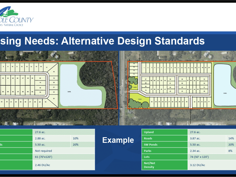
Some properties along State Road 46 were zoned commercial prior to the creation of the rural boundary in 1991. Those could develop, but in order to do so, the plans would have to be in compliance with the “rural character,” according to Hammock.
Only one person has come in to develop a vested property in the seven years Hammock has been the director of Development Services but none have moved forward.
“It’s always a one-off type of thing,” Seminole County Development Services Manager Mary Moskowitz said.
Sorry for the interruption but please take 1 minute to read this. The news depends on it.
Did you know each article on Oviedo Community News takes anywhere from 10-15 hours to produce and edit and costs between $325 and $600? Your support makes it possible.
We believe that access to local news is a right, not a privilege, which is why our journalism is free for everyone. But we rely on readers like you to keep this work going. Your contribution keeps us independent and dedicated to our community.
If you believe in the value of local journalism, please make a tax-deductible contribution today or choose a monthly gift to help us plan for the future.
Thank you for supporting Oviedo Community News!
With gratitude,
Megan Stokes, OCN editor-in-chief
Thank you for reading! Before you go...
We are interested about hearing news in our community! Let us know what's happening!
Share a story!
Author

Related Articles
Racing in the Woods: Competition and Finding the Way Home
Here’s Oviedo Community News’ three-part tale of how a quirky community of people who get lost on purpose saved a man trapped in a swamp with no water for four days.
Seminole County changing ADU rules to allow larger mother-in-law suites
Final vote next week would also allow alcohol sales closer to churches and schools.
Siblings bring art, collaboration to Oviedo
Keegan and Ashley Ford’s winning design blends native landscaping with references to Central Florida’s earliest inhabitants.